UAV GEOPHYSICS · PERTH, WESTERN AUSTRALIA
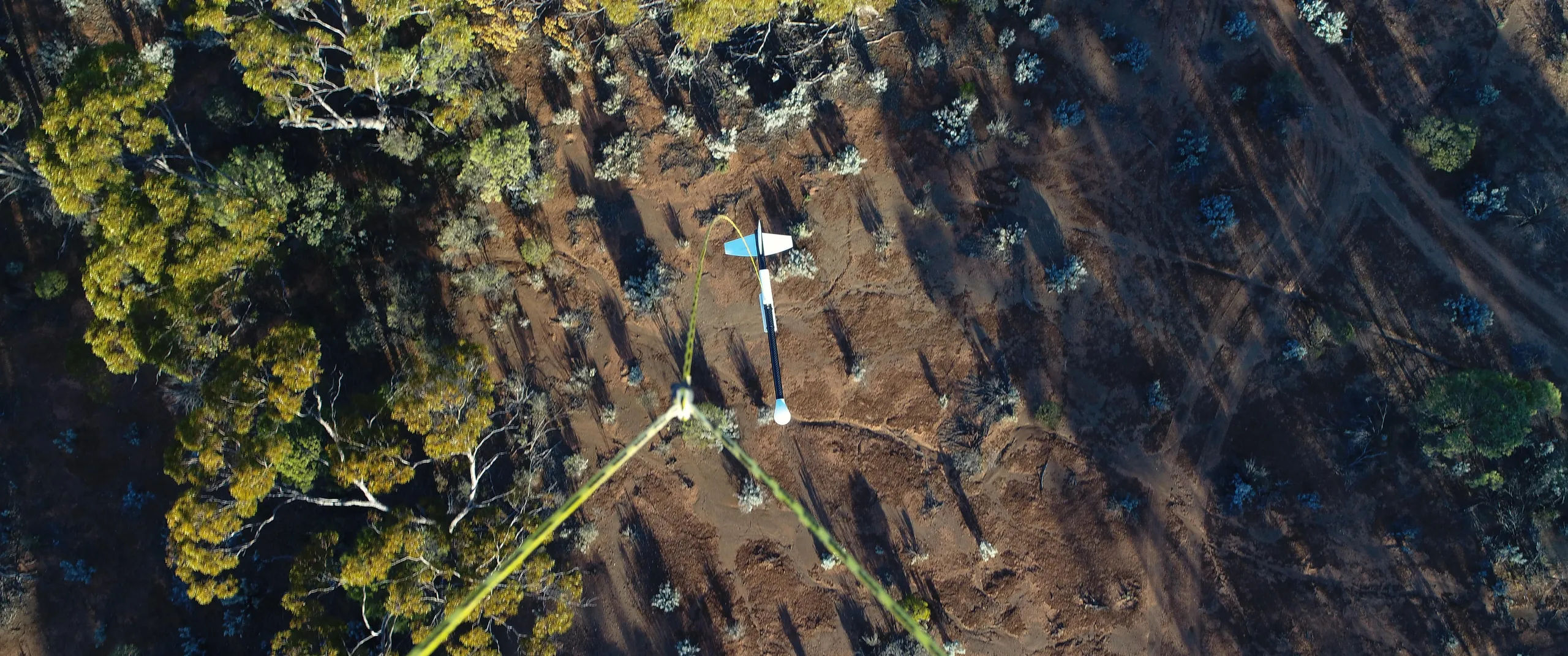
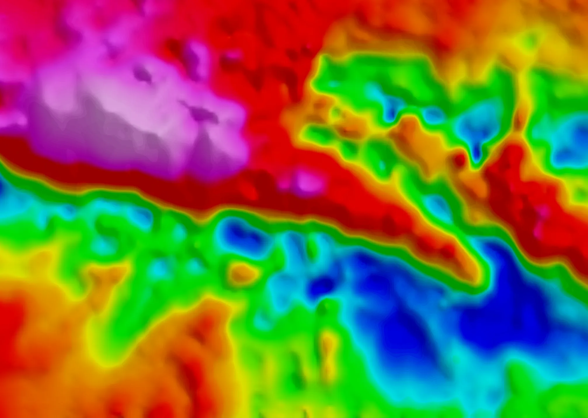
Magnetic data at a resolution manned aircraft can't fly.
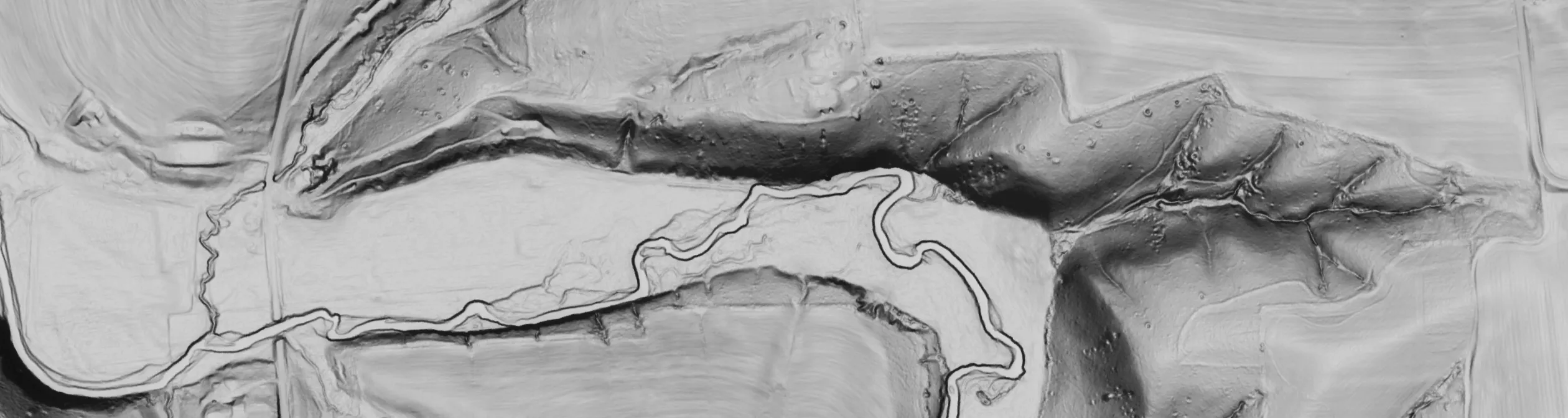
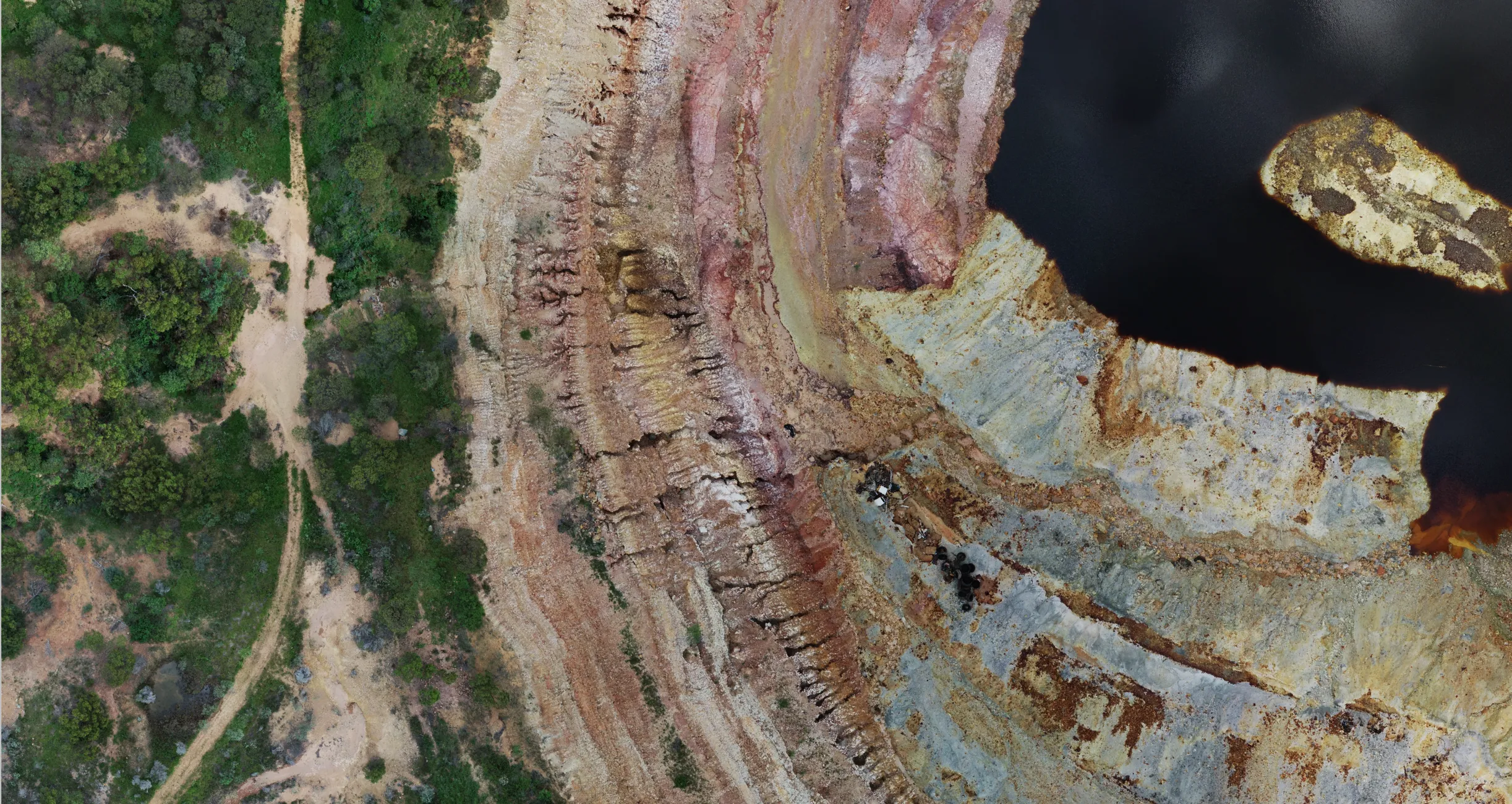
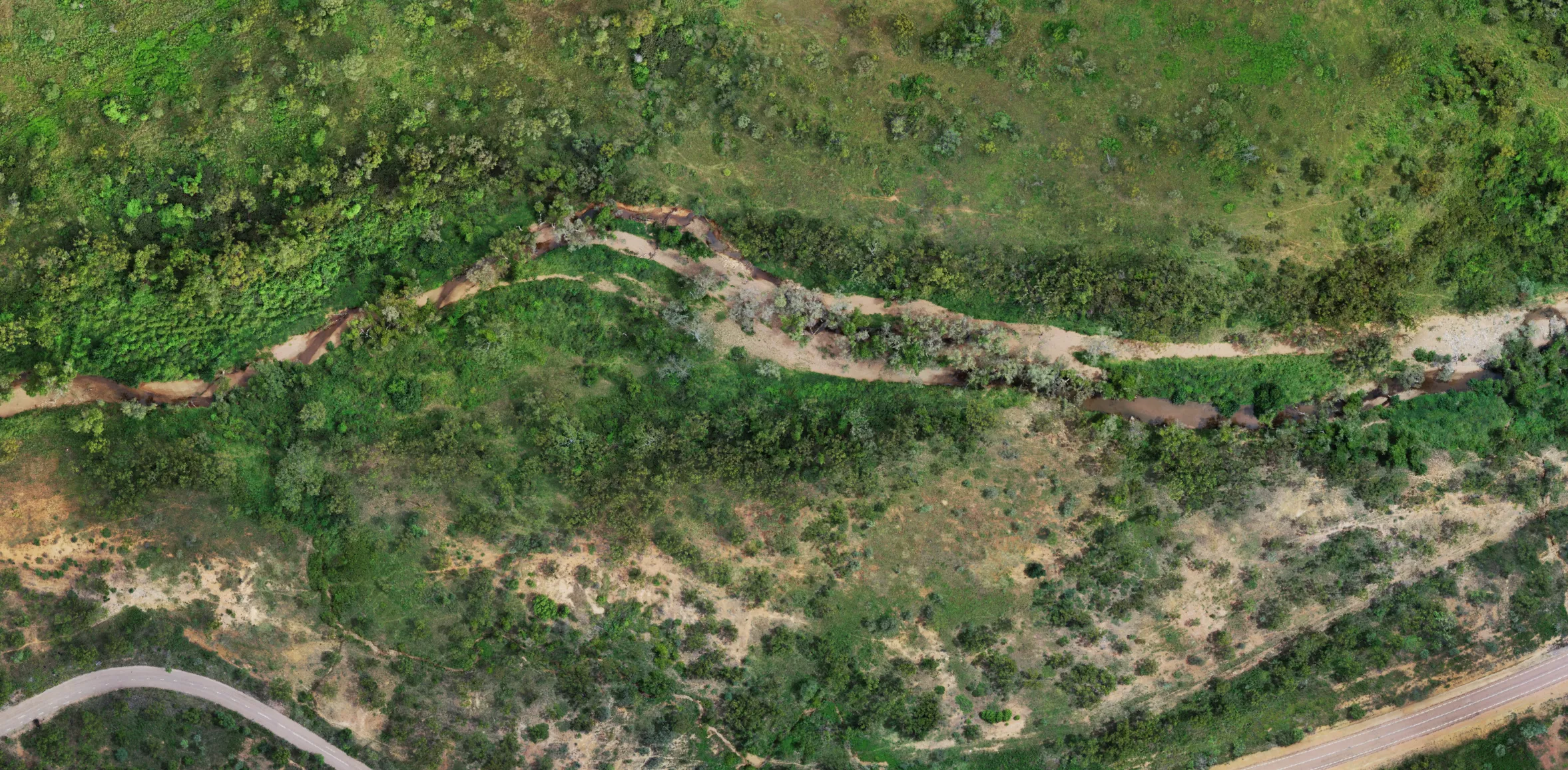
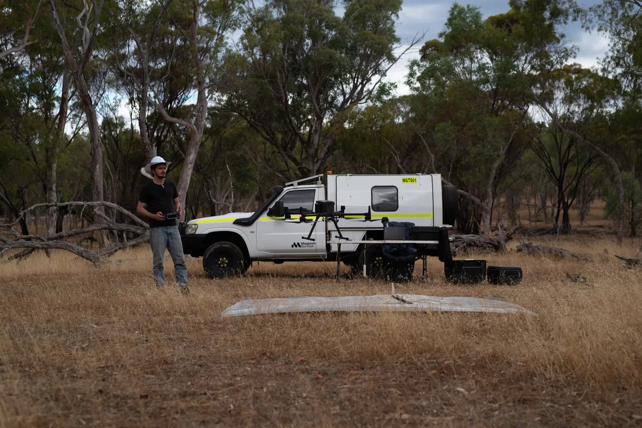
We fly quantum-sensor drone magnetic surveys, LiDAR and photogrammetry for mineral
exploration and environmental projects across Australia. Low, slow and tightly spaced.
Every survey is planned, flown and processed in-house, and every dataset is delivered
ready for geological interpretation.
SENSITIVITY3 pT/√Hz typ.
SENSOR HEIGHTAs low as the site allows
COVERAGEUp to 230 line-km/day
SURVEY SIZEProspect to regional
CERTIFICATIONCASA ReOC
Request a quote See recent work