
SERVICES / ENVIRONMENTAL & THERMAL
Aerial environmental monitoring
Imaging and mapping to support environmental monitoring, land rehabilitation and compliance reporting.
Using high-resolution aerial photogrammetry, we capture site conditions for analysis, documentation and planning. Vegetation monitoring, erosion assessment and surface disturbance mapping are part of the standard service. Baseline imaging before site works, followed by change detection on later visits, supports compliance and rehabilitation tracking.
Repeatability is the point. We fly the same lines, at the same height, with the same sensors, visit after visit, so successive datasets are directly comparable and change reflects the site rather than the survey. All data is processed for compatibility with GIS and CAD platforms and can be tailored for consultants, environmental teams and land management groups.
For environmental consultancies, we can operate as a capture and processing subcontractor: you keep the ecology, the analysis and the client relationship, and we deliver consistent, well-documented data on schedule, including at remote sites. Our field experience is mining-adjacent, so remote-area logistics, site inductions and tenement access are familiar ground.
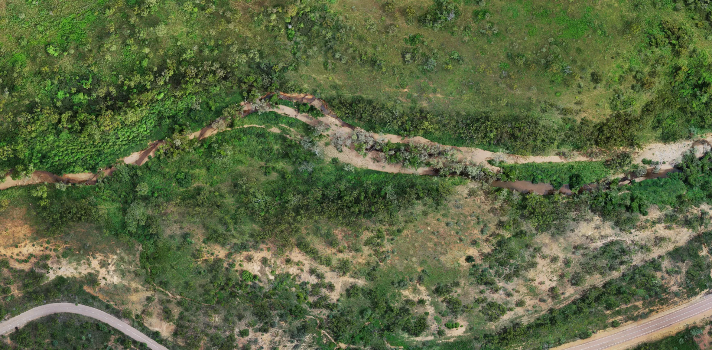
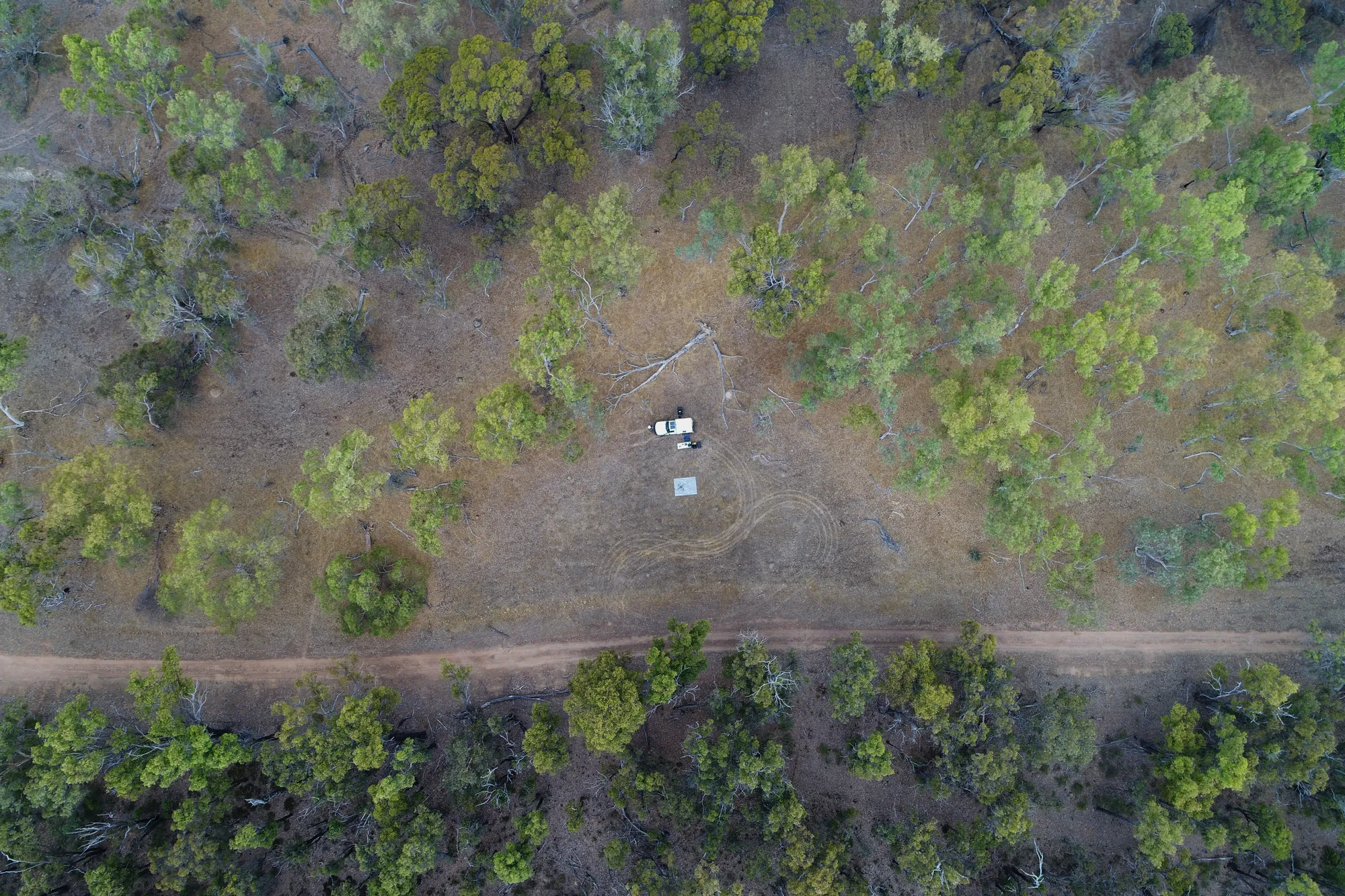
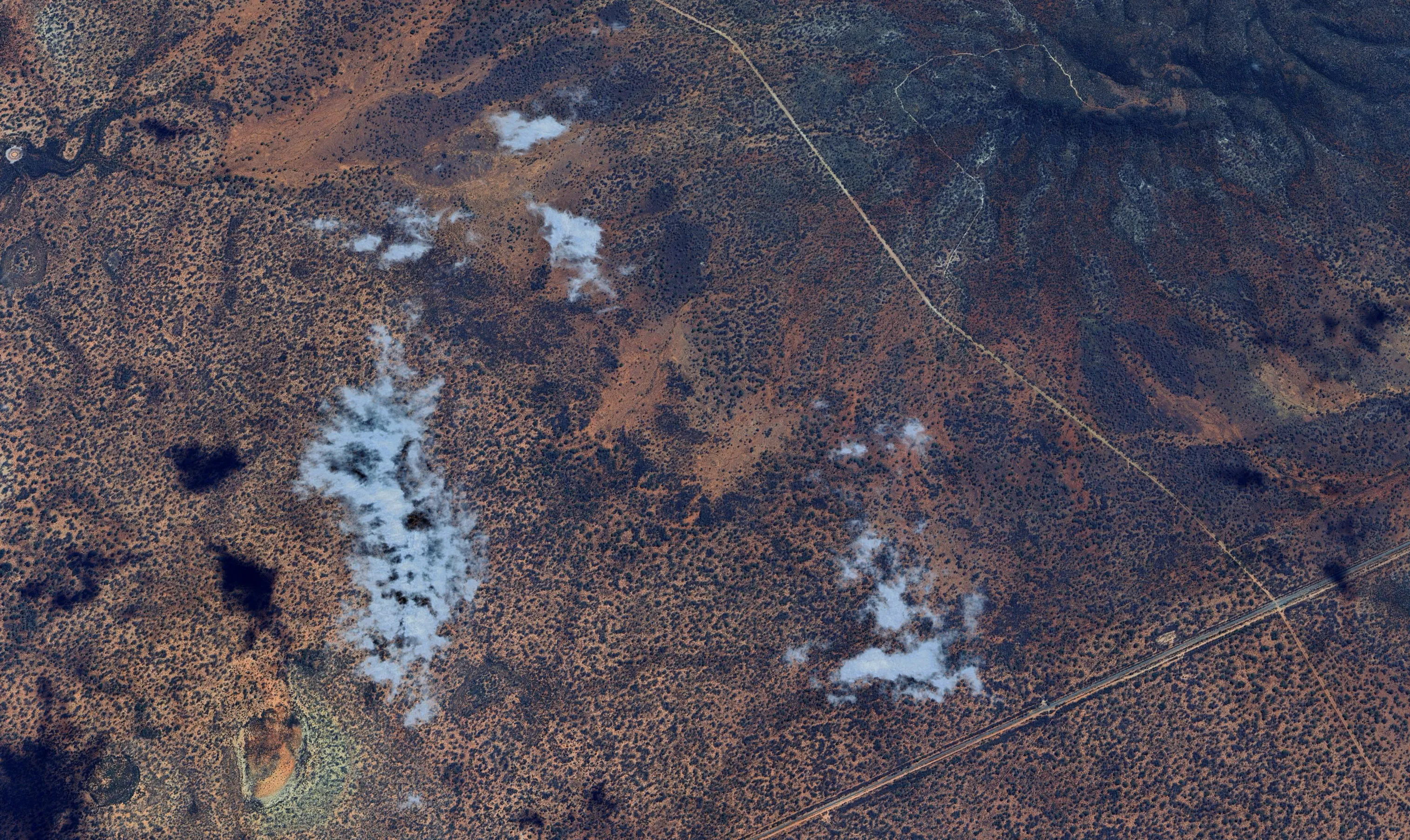
| Rehabilitation monitoring | Multi-epoch orthomosaics and surface models, baseline plus change detection between visits |
|---|---|
| Vegetation & erosion | Vegetation structure and canopy mapping, erosion and surface disturbance mapping |
| Thermal detection | Thermal imaging for wildlife survey and feral animal detection and reporting. Detection and mapping only; control work stays with licensed pest controllers. |
| Deliverables | GeoTIFF orthomosaics, GIS/CAD-compatible outputs, summary reports for inclusion in compliance documentation. GDA2020. |
| Coverage | Regional and remote areas across WA, and interstate by request |
Environmental consultancy?
If you win the monitoring contracts and need reliable capture in the field, talk to us about a standing subcontract arrangement.