
ABOUT
About Magtech Surveys
A specialist UAV geophysics and mapping firm, based in Perth and working across Australia.
We acquire and process airborne magnetic, LiDAR and photogrammetric survey data for clients across Australia, with most projects in Western Australia. Every survey is planned, flown and processed in-house, and every dataset is delivered ready for geological interpretation. Our work spans mineral exploration, geological mapping, environmental monitoring and infrastructure projects.
Our clients range from mineral exploration and resource companies through to environmental consultants, ecologists, land managers, infrastructure operators and government agencies.
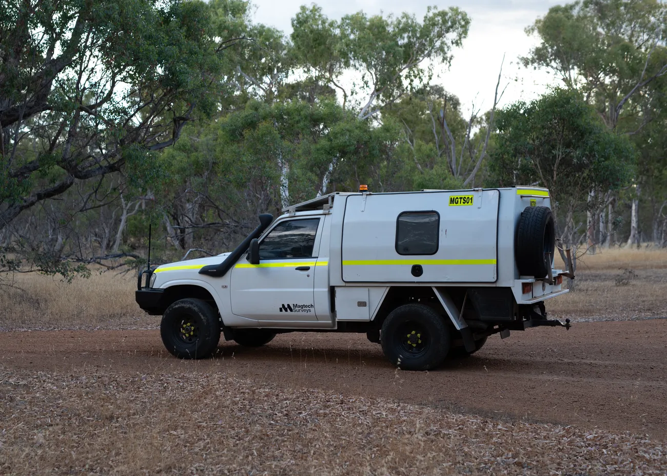
How we work
Every dataset is acquired, processed and quality-controlled in-house. Clients deal directly with the people responsible for their project, from survey design through to delivery. We can come in at any stage, from initial scoping, where we help define survey parameters and feasibility, right through to acquisition and processing. Where useful, we collaborate with consulting geophysicists, environmental specialists and surveyors so the data fits how it will actually be used.
| Certification | CASA ReOC, Chief Remote Pilot, insured operations |
|---|---|
| Methodology | Inter-Society Committee on UAV Geophysics Guidelines; every processing step documented |
| Environment | Wildlife-aware flight planning, minimal ground disturbance, no vehicle tracks off existing access |
| Coverage | Based in Perth, WA. Servicing all Australian states and territories; clustered mobilisation available for multi-site programs. |
Talk to us about your project
Send us the tenement outline or site boundary and the deliverables you need. We will come back with a fixed, itemised quote, usually within two business days.