
SERVICES / LIDAR
LiDAR surveys
Survey-grade terrain and canopy mapping, from single sites to multi-tenement programs.
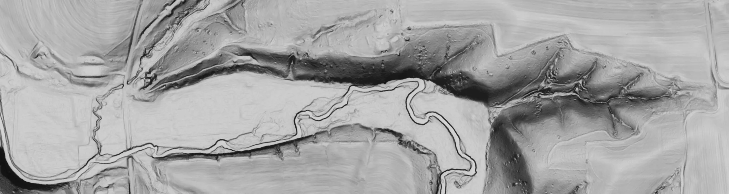
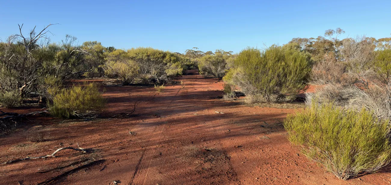
LiDAR measures the ground directly, with enough pulses finding gaps in the canopy to map the surface beneath vegetation. That makes it the right tool where photogrammetry struggles: under canopy, over low-texture surfaces, and anywhere a true bare-earth terrain model matters. We fly it for exploration access and logistics planning, drill pad and earthworks design, drainage and hydrology, and vegetation structure mapping.
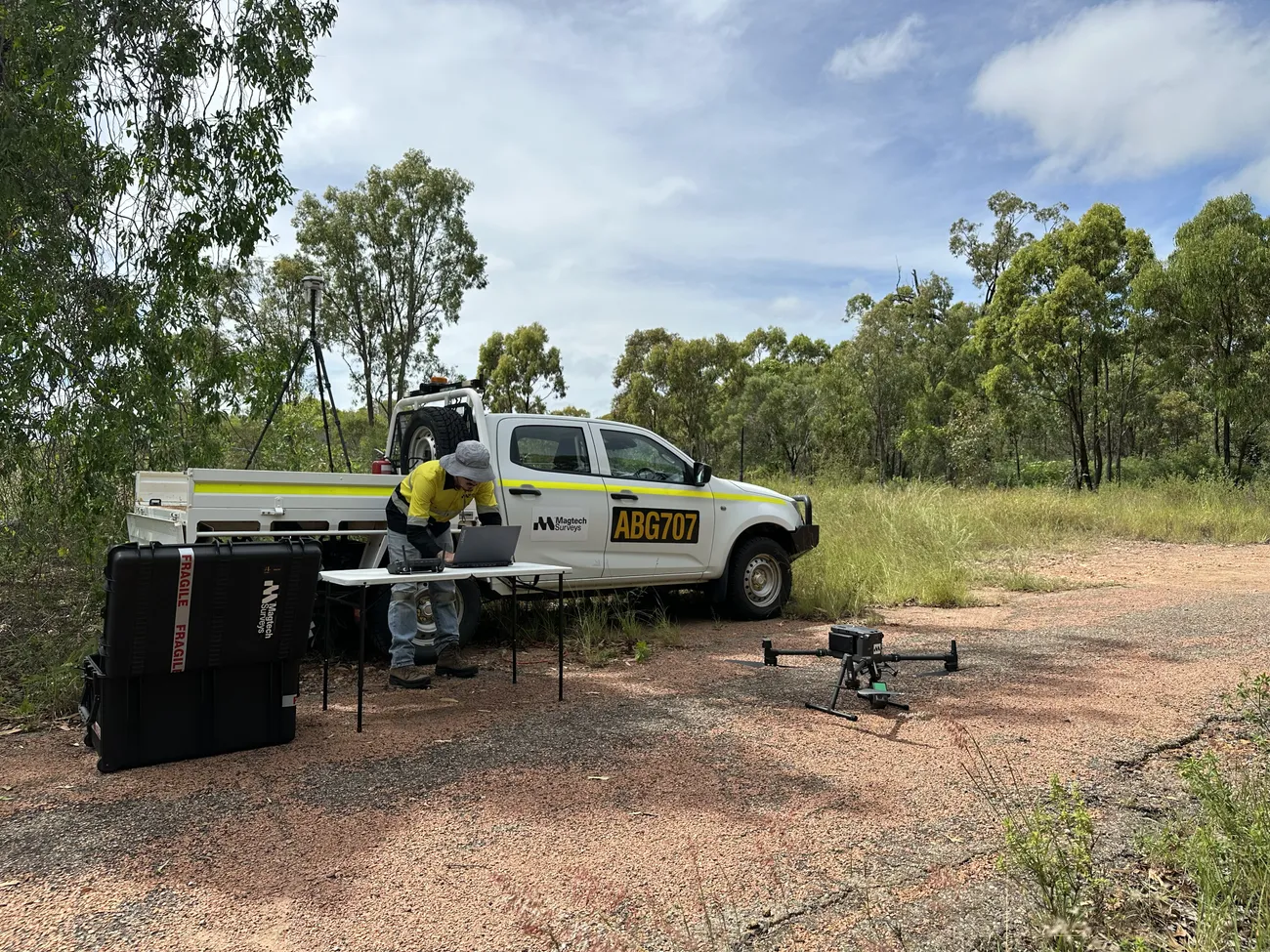
Positioning is controlled with an on-site RTK base station and surveyed ground control points, with CORS post-processing where site conditions call for it, giving reliable absolute accuracy even at remote sites with no established survey control. Point clouds are ground-classified and delivered with the derived products your engineers or geologists actually use.
| Typical accuracy | ~5 cm absolute, 2–3 cm relative (surface and conditions dependent) |
|---|---|
| Point density | Matched to purpose; we do not sell density beyond what improves accuracy |
| Positioning | On-site RTK base station and ground control points; CORS post-processing where appropriate |
| Deliverables | Classified LAS/LAZ point cloud, bare-earth DEM, DSM, contours, hillshade. GeoTIFF and CAD-ready formats. GDA2020. |
LiDAR or photogrammetry?
They overlap, and we quote whichever suits the job rather than the one with the higher price. As a rule: vegetation, bare-earth terrain models or uniform surfaces like mown turf point to LiDAR. Visual records, orthomosaics and stockpile volumetrics on well-textured ground point to photogrammetry. If you are not sure, describe the end product you need and we will recommend the method, including telling you if the cheaper one is enough.
Talk to us about your project
Send us the tenement outline or site boundary and the deliverables you need. We will come back with a fixed, itemised quote, usually within two business days.