
SERVICES / PHOTOGRAMMETRY
Photogrammetry & aerial imaging
High-resolution mapping and imagery for mining, infrastructure, land development and environmental work.
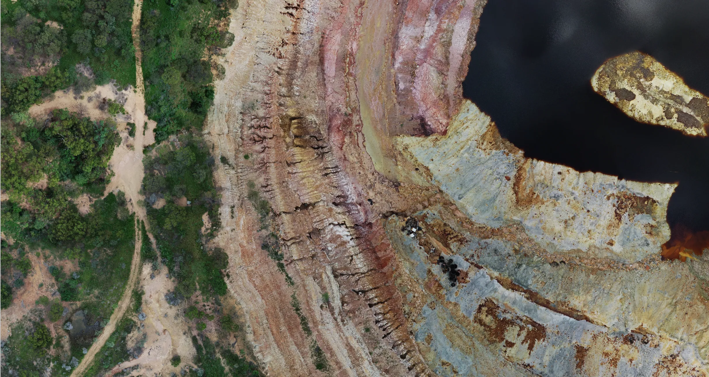
Our system captures 20-megapixel still images with a mechanical shutter, producing accurate orthomosaics, digital surface models and 3D reconstructions. That suits site mapping, pit modelling, stockpile volume calculation and terrain analysis, as well as straightforward visual documentation.
In mining, aerial imaging captures up-to-date overviews of exploration leases, operational sites and rehabilitation areas. Imagery can be viewed directly alongside magnetic survey data, giving context to exploration results, supporting regulatory documentation, and helping communicate project progress to stakeholders. Beyond technical mapping, high-resolution imagery supports inspections, progress reporting and marketing.
| Capture | 20-megapixel stills, mechanical shutter |
|---|---|
| Resolution | Typically 1–3 cm GSD, matched to flying height and purpose |
| Products | Orthomosaic, digital surface model, 3D reconstruction, stockpile and pit volumetrics |
| Formats | Standard GeoTIFF and formats for GIS, CAD and visual reporting workflows. GDA2020. |
| Turnaround | Most deliverables within 24 to 72 hours of completing site work |
| Honest limits | Low-texture surfaces such as uniform turf or bare sand degrade photogrammetric accuracy. We recommend LiDAR where it is the better tool. |
Talk to us about your project
Send us the tenement outline or site boundary and the deliverables you need. We will come back with a fixed, itemised quote, usually within two business days.