
SERVICES / MAGNETICS
Drone magnetic surveys
High-resolution aeromagnetics for mineral exploration, resource mapping and geological investigation.
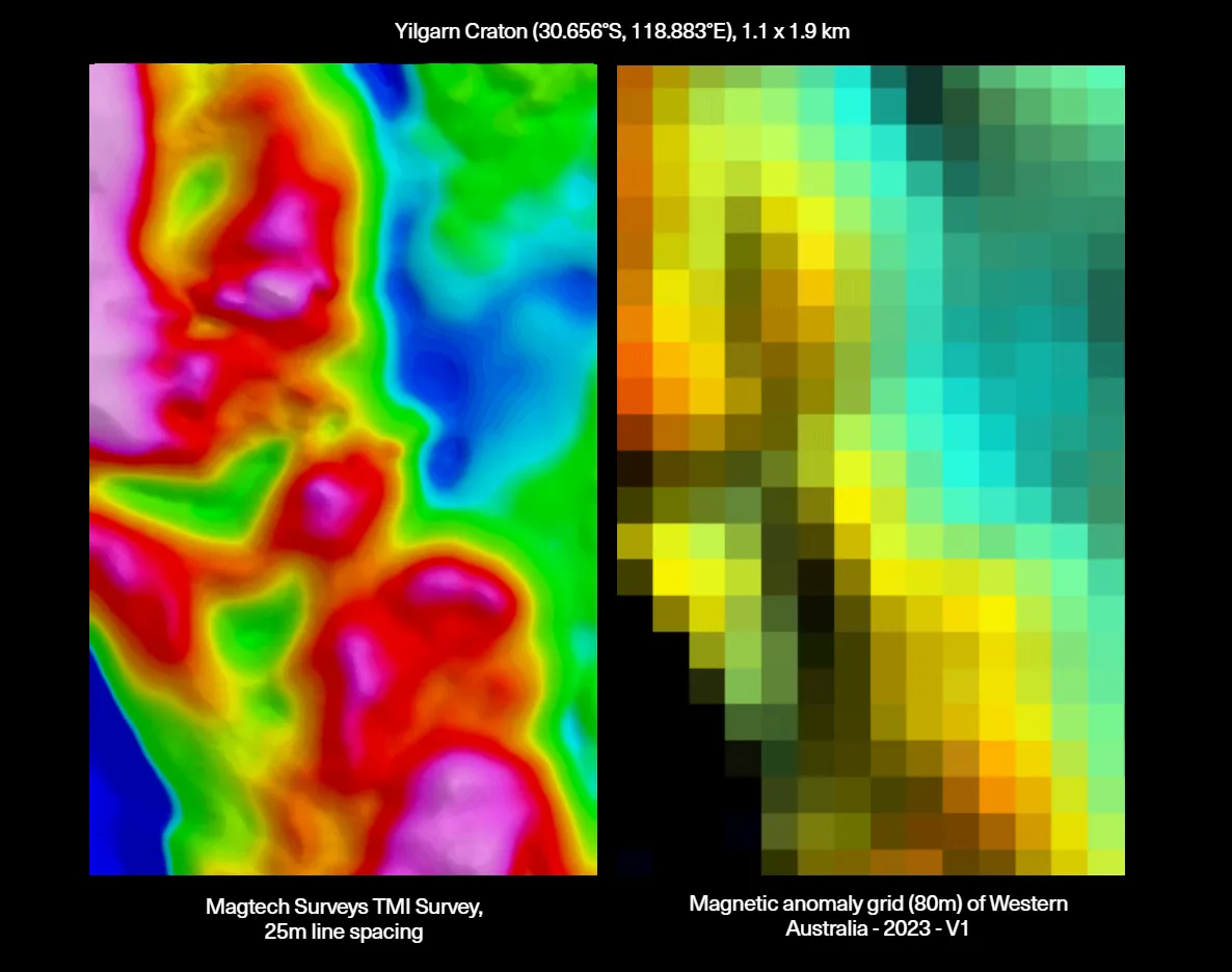
At the core of our system is the QuSpin QTFM Gen-2, a quantum magnetometer with picotesla-level sensitivity. Against an Earth field of around 50,000 nanotesla, that is the margin needed to pick up the subtle anomalies that indicate mineralisation or the structures controlling it.
We fly the sensor in a towed bird well below the aircraft, away from the platform's own magnetic noise. Because the bird hangs beneath the drone, the sensor itself runs much closer to the ground than the aircraft. Sensor height is set per survey by the target, the terrain and the obstacles on site. Standard production surveys run with the sensor around 25 metres above ground on open sites, while taller canopy sets a higher floor. On small, slow-flown detail areas over clear ground, the sensor can be brought much lower again for maximum near-surface resolution. Flight paths are draped to follow the terrain, holding the sensor at a consistent height above ground so near-surface targets are resolved evenly across the survey rather than fading in and out with elevation.
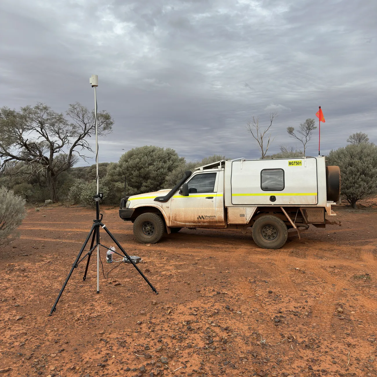
Survey design is tailored to the target. Line spacing, orientation and resolution are set for the geology and the exploration question, from wide-spaced greenfields reconnaissance to tight-spaced detail over a defined prospect. Acquisition runs under quality-control protocols including base station recording for diurnal correction and real-time monitoring of flight parameters.
| Sensor | QuSpin QTFM Gen-2 total-field quantum magnetometer, towed bird |
|---|---|
| Base station | Proton precession base magnetometer recording on site for diurnal correction |
| Sensor height | Set per survey by target, terrain and obstacles; around 25 m on open production sites, lower again on small clear detail areas. Terrain-draped. |
| Line spacing | 10–100 m traverse lines with tie lines; orientation set to cross the local geological strike |
| Processing | Diurnal correction, heading error correction, IGRF removal, tie-line levelling, microlevelling, RTP, 1VD |
| Deliverables | Geosoft GRD grids, GeoTIFFs, georeferenced PDF maps, line data, data dictionary and survey report. GDA2020. |
What it maps
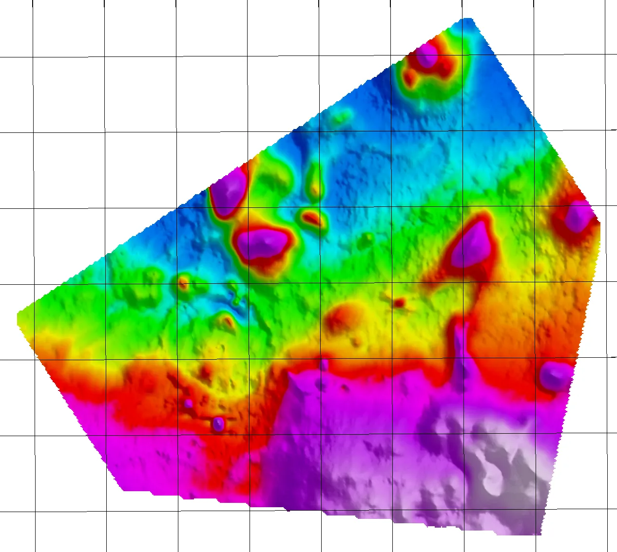
Drone magnetics is especially effective over lithology and structure that host or control mineralisation: banded iron formations, lithium pegmatites, mafic and ultramafic units, shear zones, dykes and alteration zones. Detailed magnetic mapping of these features supports exploration targeting, drill planning and refinement of the geological model.
Where it fits
Drone magnetics suits everything from a single prospect to broad regional programs: first-pass coverage of new tenements, infill over targets identified in regional data, and detailed structural mapping ahead of drilling. Production is typically 150 to 230 line-kilometres per day depending on line spacing, terrain and crewing, and we quote a realistic rate for each job rather than a single headline figure. We are happy to talk through where drone survey, ground magnetics or a manned aircraft is the right tool for your program, and we will tell you plainly if it is not us.
Planning a magnetic survey?
Send us your tenement outline and target line spacing, and we will come back with a fixed, itemised quote.